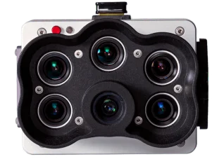
Flight over pumpkin patch and corn maze with the DJI M300 and the RedEdge-P sensor.
The flight was performed to test the accuracy of plant counting algorithms using the sensors higher resolution pan-sharpened imagery. Pumpkins were counted by size and their distribution across the field. Selecting the graph icon in the left menu will display the results in a bar graph, as well as counts will scale per view area as you scroll in the frame.
Read the case study here.


