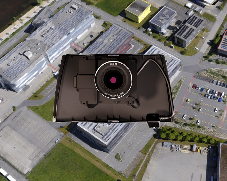
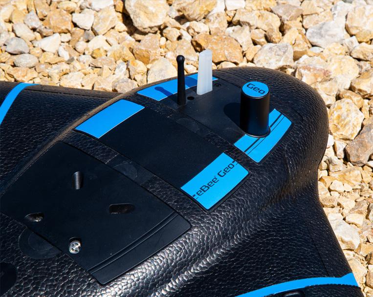
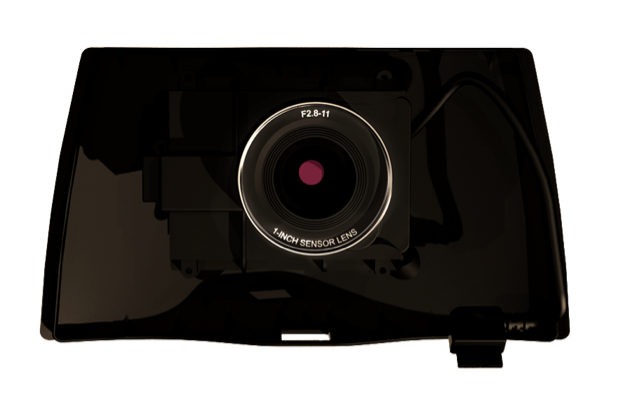
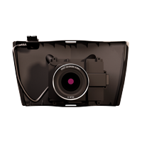
RGB optimized camera
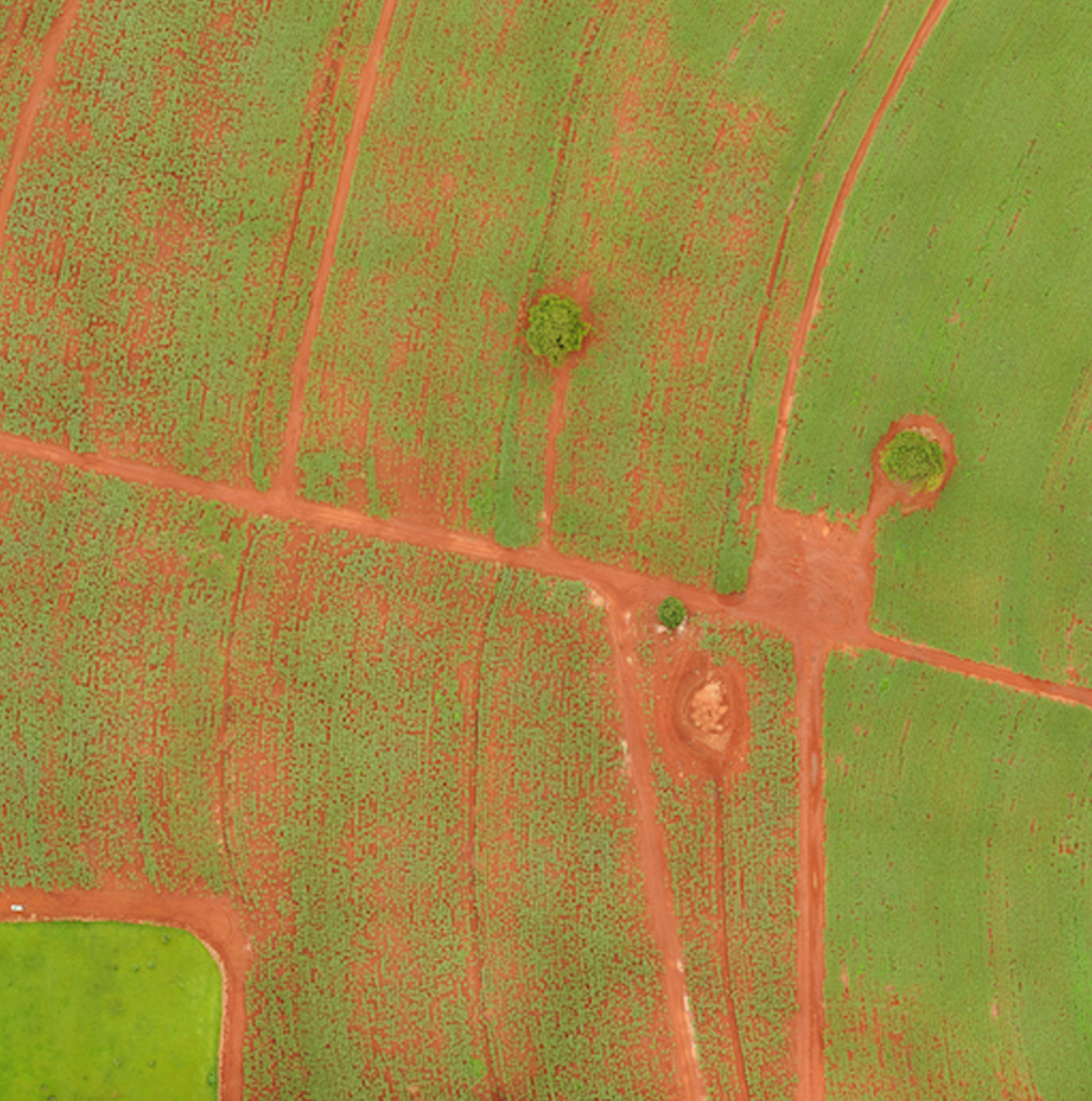
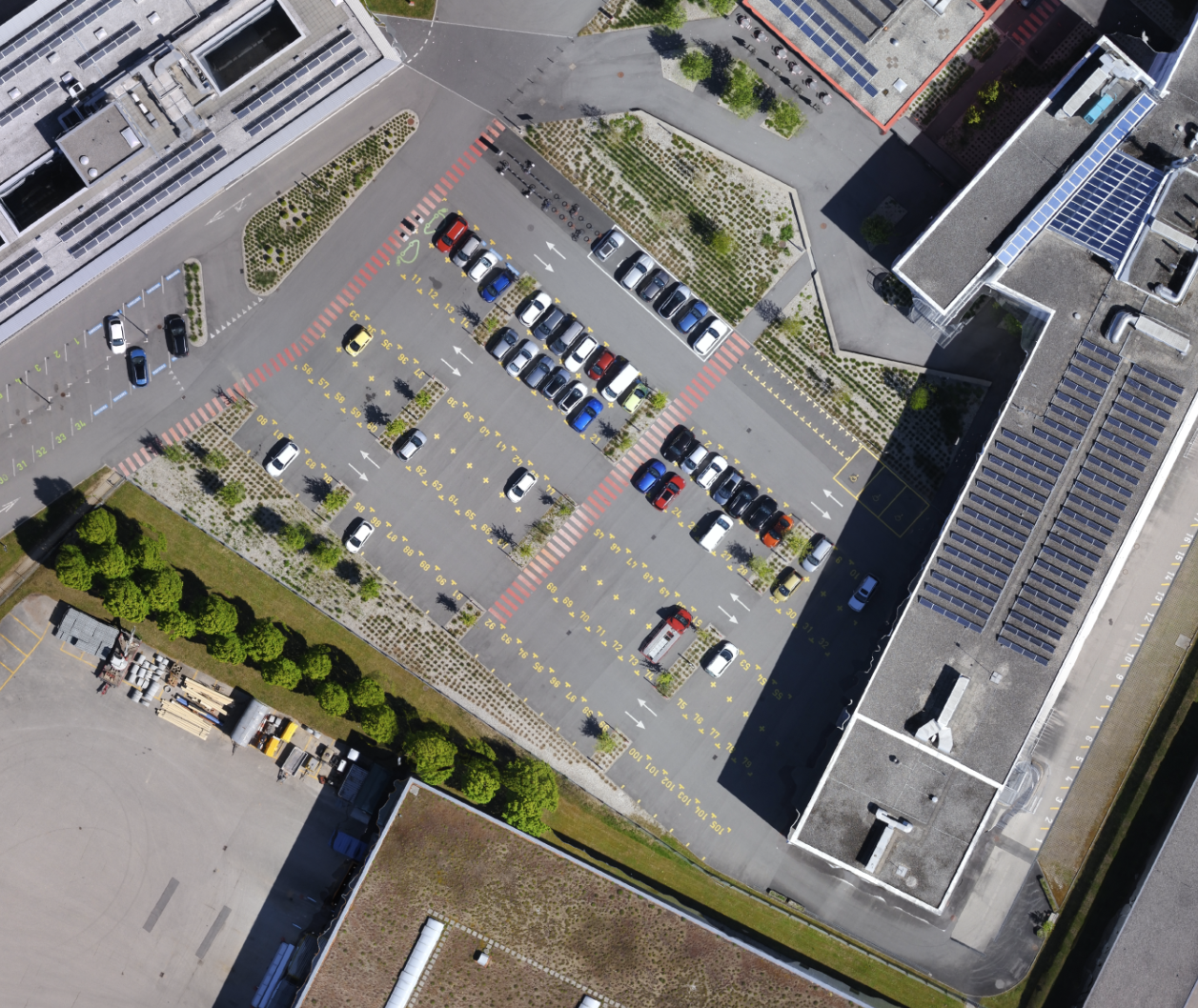
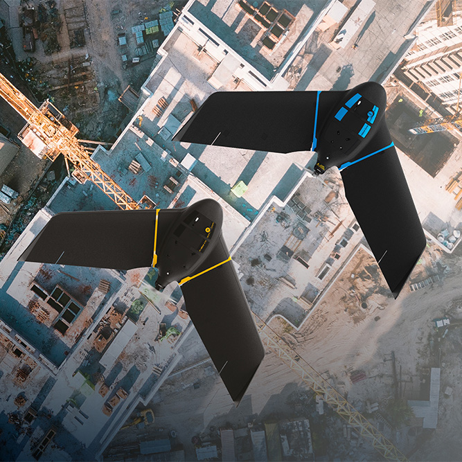
eBee Geo comes with the senseFly S.O.D.A., a photogrammetry camera built for drone applications. It captures sharp aerial images to produce georeferenced orthomosaics, digital surface models (DSM) and point clouds.
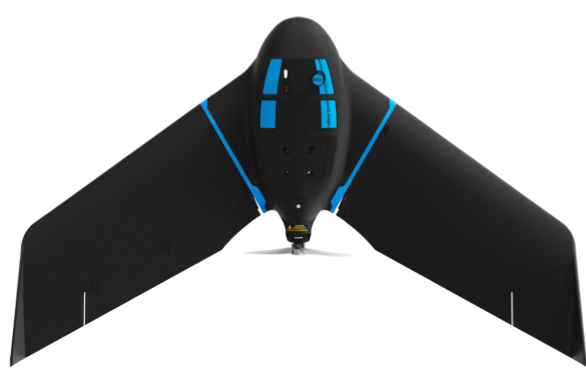
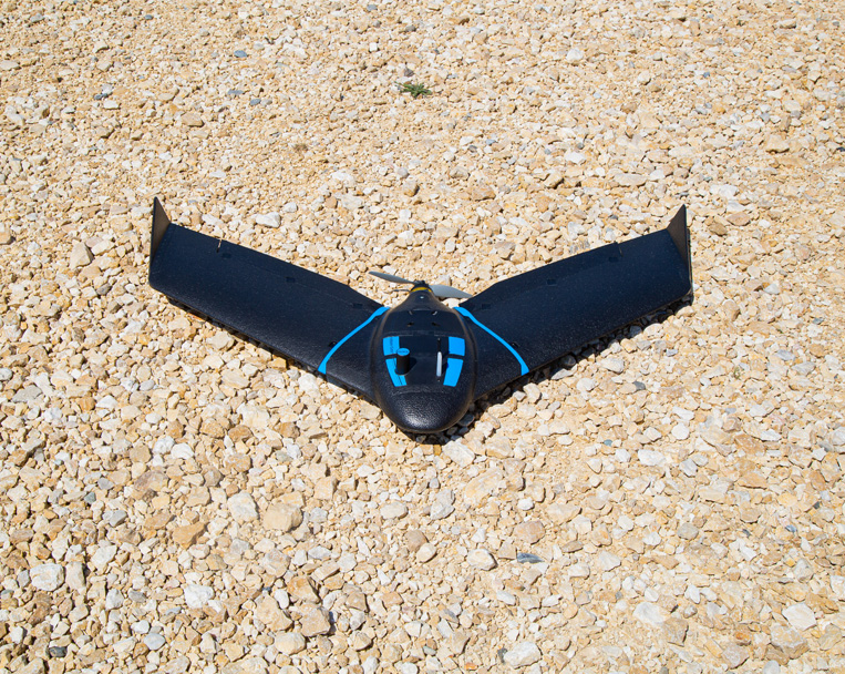
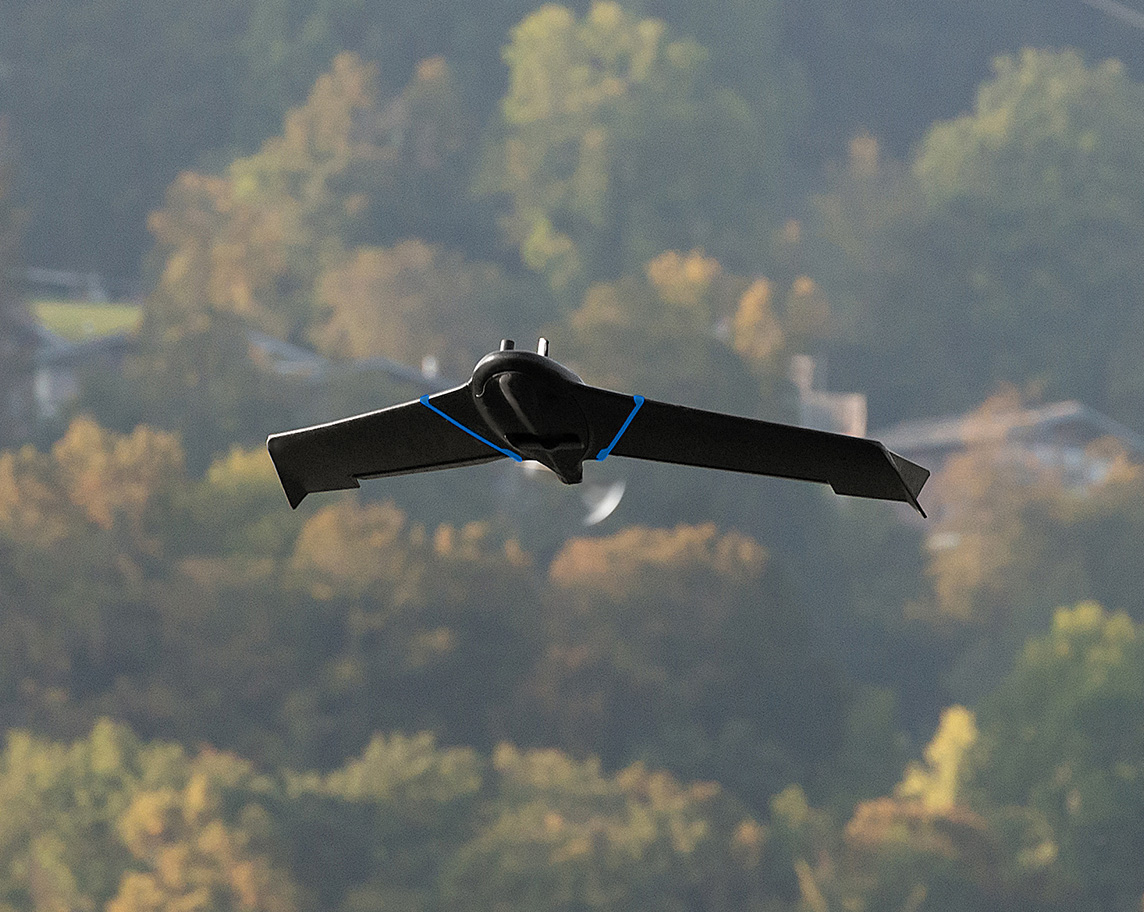
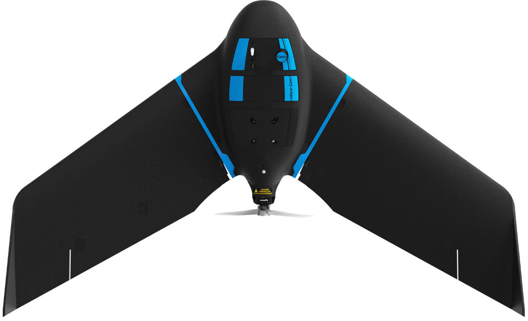
Affordable fixed-wing drone designed to meet the needs of surveyors, civil engineers and GIS professionals, thanks to its photogrammetry RGB built-in camera.
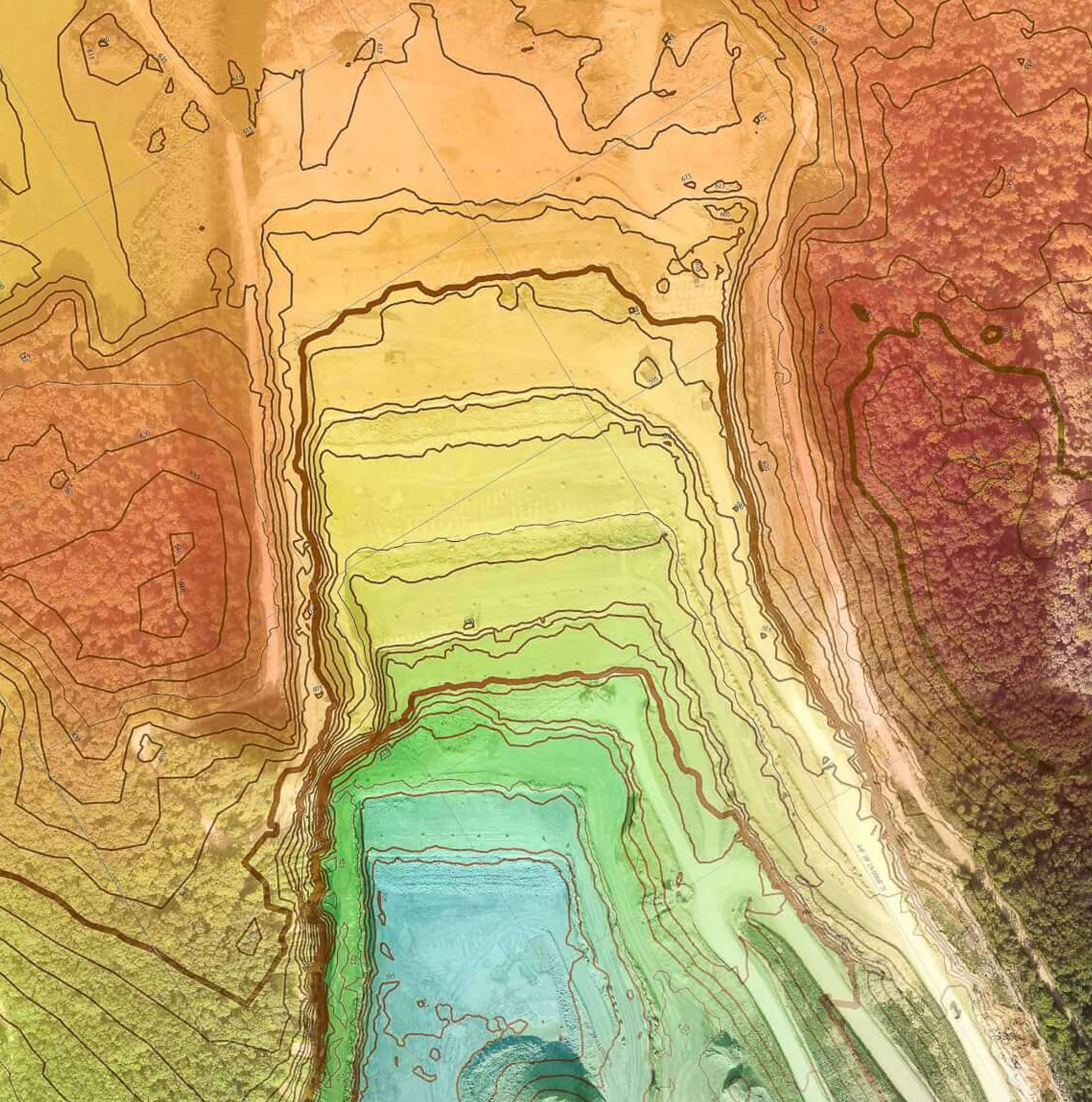
eBee Geo 45-minute flight time allows you to cover up to 160 ha / 395 ac at 2.5 cm / 1 in with RTK available.
eBee Geo comes with the senseFly S.O.D.A., a photogrammetry camera built for drone applications. It captures sharp aerial images to produce georeferenced orthomosaics, digital surface models (DSM) and point clouds.
Background container color: Need to be able to change to any color
CTA capability: CTA button is optional… Admin needs to be able to add or remove
Eyebrow: Optional
Available RTK allows you to achieve the high precision accuracy your project requires, down to 2.5 cm / 1 in without GCPs.
eBee Geo’s light weight allows users to operate safely within more regulatory frameworks worldwide and perform advanced operations, such as flying over people (OOP).
Background container color: Need to be able to change to any color
CTA capability: CTA button is optional… Admin needs to be able to add or remove
Eyebrow: Optional
During the 45 minutes of flight, eBee Geo can cover an area up to 160 ha / 395 ac while flying at 120 m / 400 ft.
Need greater data precision? eBee Geo is available with Real-Time Kinematic (RTK), positioning GSD down to 2.5 cm / 1 in.
Background container color: Need to be able to change to any color
CTA capability: CTA button is optional… Admin needs to be able to add or remove
Eyebrow: Optional
Designed to operate in harsh conditions thanks to its shock absorbent underbelly made of reinforced polypropylene woven mesh.
eBee Geo has Remote ID and the European C2 class identification label. The drone is prepared for the upcoming drone regulations in the U.S. and Europe.
Rugged and intuitive to operate, eBee Geo makes surveying and mapping faster, safer and more efficient than terrestrial tools.
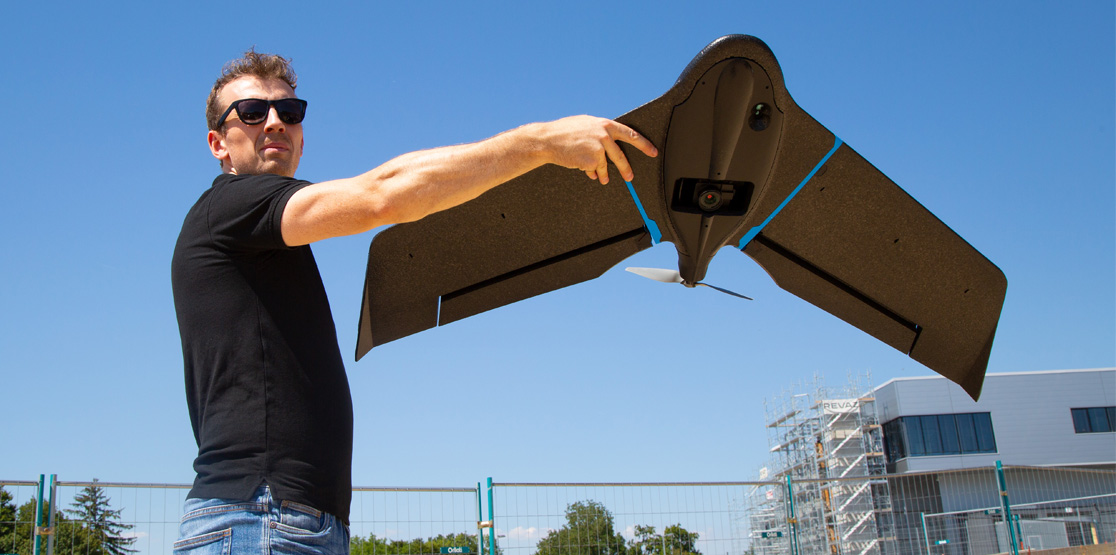
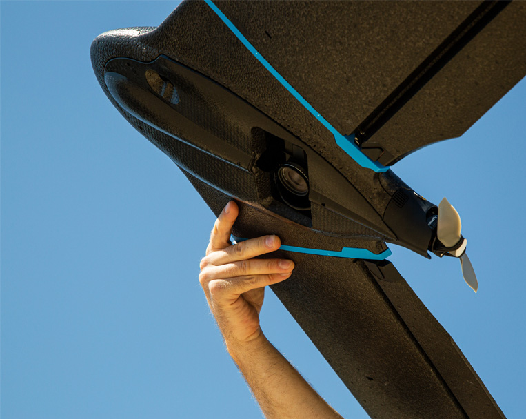
Simply hand-launch the drone, and it will autonomously fly and collect the data needed.
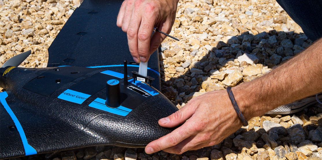
Easily transported in a backpack, eBee Geo can be deployed in just 3 minutes by one operator.
Automated and reliable data capture with the included flight management software.
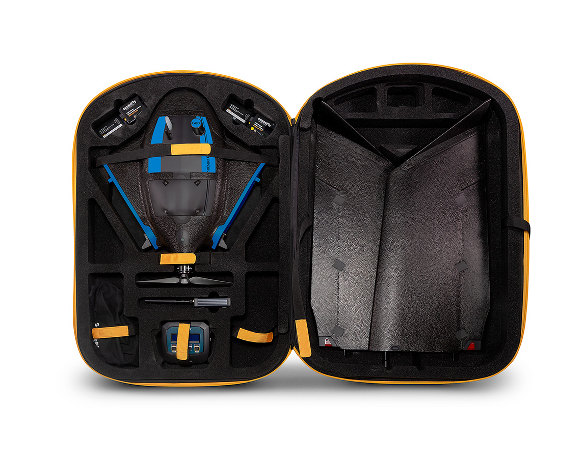
All your gear in one spot with included drone backpack.
Rain cover and a laptop pocket.
4.6 kg / 10 lbs empty.
10 kg / 22 lbs when fully loaded.
Background container color: Need to be able to change to any color CTA capability: CTA button is optional… Admin needs to be able to add or remove Eyebrow: Optional
PIX4Dmapper, PIX4Dmatic, PIX4Dcloud, PIX4Dreact, PIX4Dfields, PIX4Dsurvey, Agisoft Metashape, DroneDeploy, Bentley ContextCapture, SimActive, Esri ArcGIS Drone2Map and Trimble Business Center.
Background container color: Need to be able to change to any color CTA capability: CTA button is optional… Admin needs to be able to add or remove Eyebrow: Optional
eBee Geo is a perfect entry into surveying and mapping for cost-conscious service providers, surveyors and GIS professionals with specific project requirements.
We set out to capture all these requirements into one affordable fixed-wing mapping drone with an RGB camera, to help you map smarter and optimize the ROI of your operations.
eBee Geo is backed by our industry-leading operational safety, even in the most complex projects.
The U.S. Federal Aviation Administration (FAA) drone registration data from 2016 to 2021 confirms that the eBee is the most used fixed-wing drone in the United States.
eBee flight hours
eBee successful flights
Automated quick self-diagnosis before every flight
Industry experience
Background container color: Need to be able to change to any color CTA capability: CTA button is optional… Admin needs to be able to add or remove Eyebrow: Optional
eBee Geo is designed to operate in hash conditions and perform continuous belly landings without damage.
Our team of engineers has optimized the drone’s airframe and the under-body skin to make it ultra-tough and able to operate in different terrains.
Background container color: Need to be able to change to any color
CTA capability: CTA button is optional… Admin needs to be able to add or remove
Eyebrow: Optional
Easily make repairs in the field without stopping your project. The modular design of eBee Geo reduces downtime and maintenance costs.
If maintenance is needed, get your eBee Geo drone serviced locally, thanks to our global network of authorized service centers.
Impact tests proved safe flying around people.
No hard plastic part nor motor in the front part.
Safety protocols integrated into the flight planning software.
eBee Geo complements your surveying toolkit, elevating your professional capabilities. These are some benefits that the safe and reliable technology of fixed-wings brings to your operations.
eBee Geo users benefit from operational regulation advantages not available to heavier drones above 2 kg / 4.4 lbs. It also has remote ID approved by the FAA.
eBee Geo BVLOS flights are approved in Brazil, and Operations Over People (OOP) in Canada and in the United States. These advanced operations are essential to expanding your mapping capabilities.
The eBee Geo regulatory advantages and the fact that it is ready for advanced operations demonstrate that the platform is reliable and can easily perform complex missions.
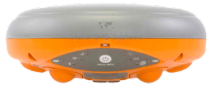
S.O.D.A. (Sensor Optimized for Drone Applications) is the first senseFly camera built for professional drone use, and has quickly become the reference sensor in its field.
eBee Geo equipped with the S.O.D.A. camera allows you to capture sharp aerial images across different light condition to produce detailed orthomosaics, digital surface models and point clouds.
S.O.D.A. camera
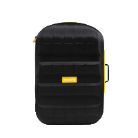
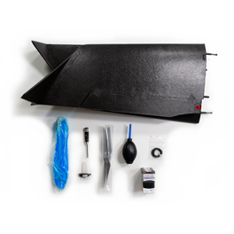
Drone backpack
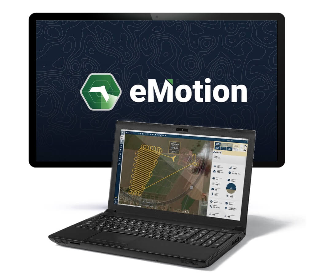
Flight management software
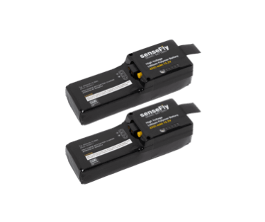
Standard batteries
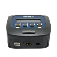
Battery charger and discharger
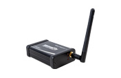
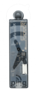
USB ground modem
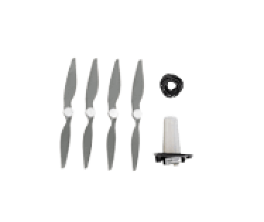
Spare propellers and pitot kit
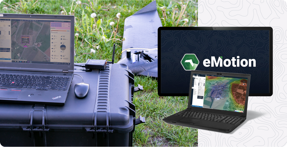
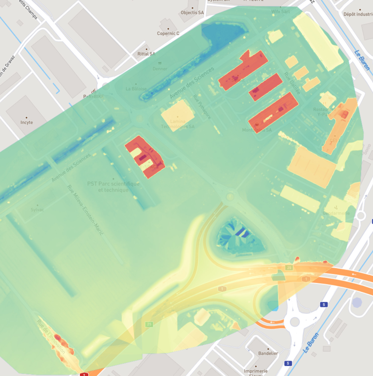
Planning your project is as easy as selecting the flight block type and the area you want to map, and the software generates the eBee Geo flight plan. You can choose your mission settings, like GSD and overlap, or let eMotion automatically optimize them.
From automating single flights to flying multiple eBees simultaneously, eMotion’s 3D environment helps you control the drone’s trajectory. You can easily activate the safety features in a single click or adjust the flight path and landing spot during flight.
eMotion includes all the functionality you need to collect the geospatial data you require, such as automatically geotagged images, custom background maps, safety features, live air traffic, RTK / PPK, and weather forecast.
The drone managing software connects wirelessly to your UAS, industry cloud solutions, base stations, and airspace data. Furthermore, eMotion prepares the images for post-processing software, reducing third-party software compatibility issues.
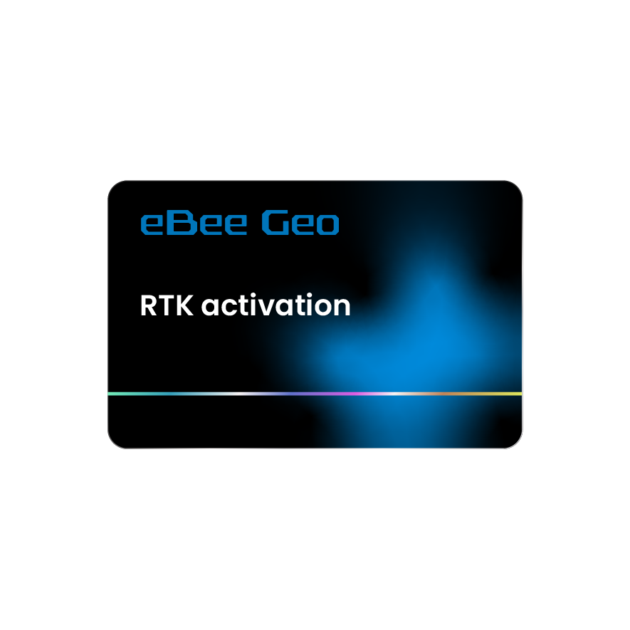
Achieve absolute accuracy of down to 2.5 cm / 1 in with available RTK.
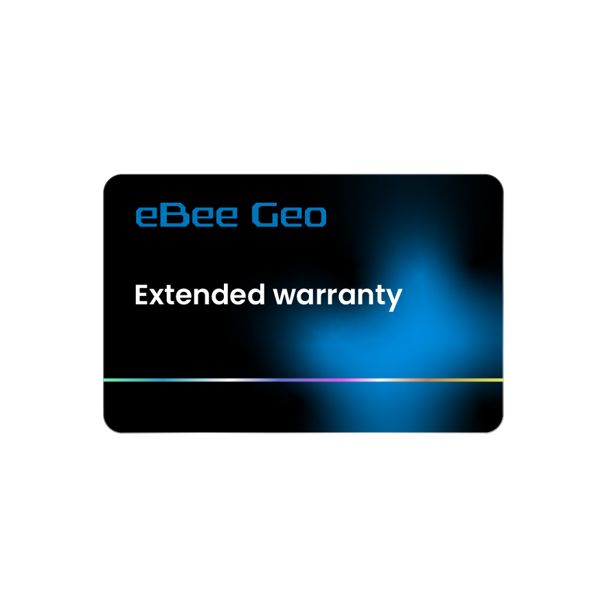
Fly with confidence with this one-year warranty extension.
Provide extra protection for your eBee Geo in harsh environments.

Get the most from your survey drone with this training.
Enable high-accuracy workflow with this plug-and-play GNSS.
Increase your airspace awareness by viewing live air traffic data directly within eMotion.
Safeguard against unexpected aircraft signal loss while flying in high winds, mountainous areas or very large areas out of line of sight.
Wings, pitot tube, vertical surfaces and propellers.
Operate your eBee Geo drone manually.

Should you require support in the field at any time, our global network of support service centers stands by to help.
We are recognized throughout the industry for excellence in customer service.
Our drone solutions include lifetime hardware, payload and eMotion support, plus free software and firmware updates.
Get support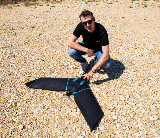
The Certified Operator course will allow you to get the most from your fixed-wing drone and increase your operations’ ROI.
Not sure if the course is right for you? Try the first four lessons for free!
In addition, we offer personalized professional training packages online and in person. Contact us to book a custom session with a distributor or us.
Start Certified Operator course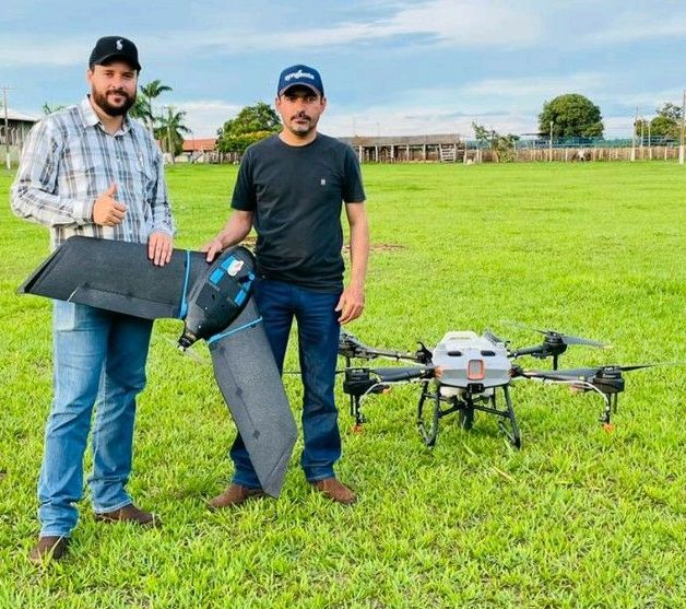
Interview with the director of the company AeroPulv, to get his first impressions of eBee Geo, which recently joined their multi-rotor fleet.
Which drone between eBee Geo and eBee X best suits your needs? Discover their unique strengths and suitable applications.
Fixed-wing drone vs. quadcopter comparison: time on-site, labour costs, project capacity and more.