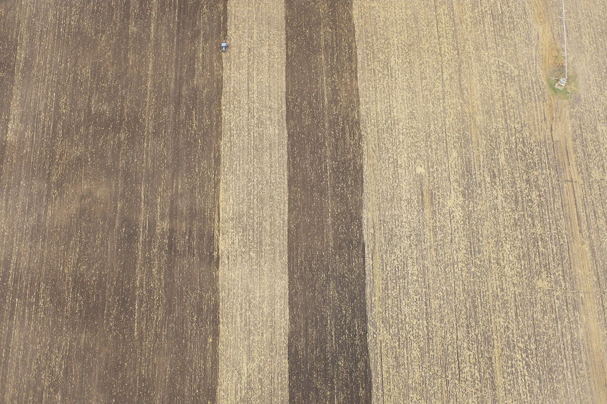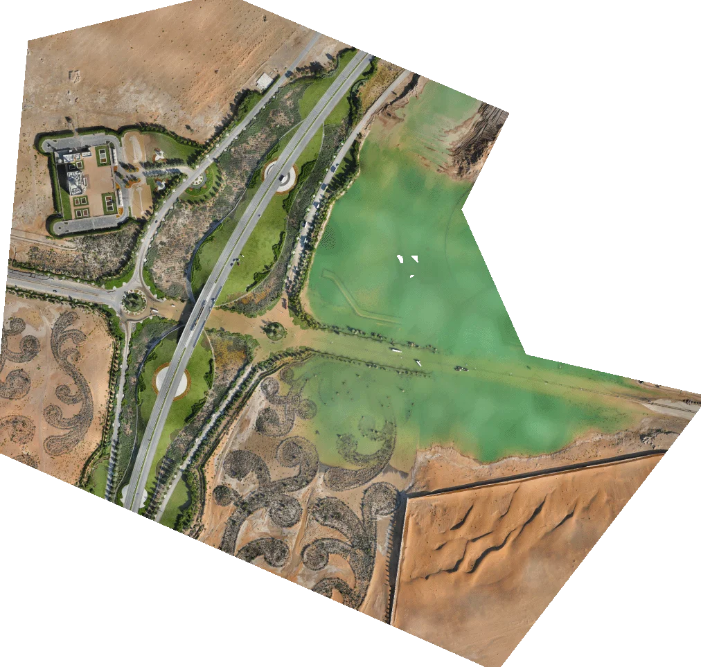
The service provider and surveying company SysCAD Solutions SRL was commissioned to do a quarterly mapping of three cement quarries. Obtaining accurate data was critical for their client, as they pay taxes based on excavated volume.
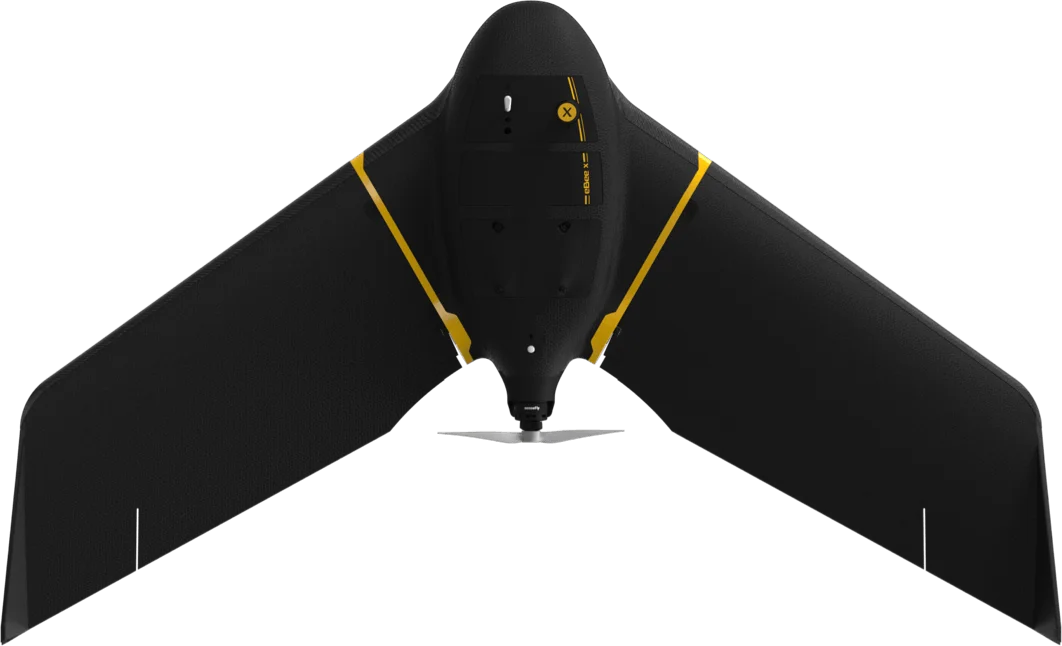
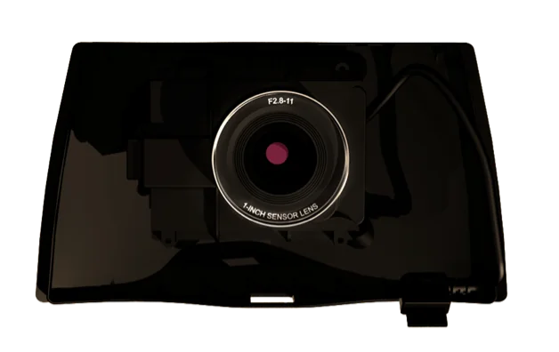
SysCAD selected the eBee X drone equipped with the S.O.D.A. camera because of its regulatory advantages, which allowed it to:
- Perform a BVLOS mission, saving 2 hours compared to a VLOS operation.
- Operate safely close to people and in compliance with the new EU drone regulations.
- Have real-time air traffic awareness with Arnold’s Ping USB.
- Obtain accurate data at 300 AGL.
Learn more about the challenges and the ROI of the project in this webinar.