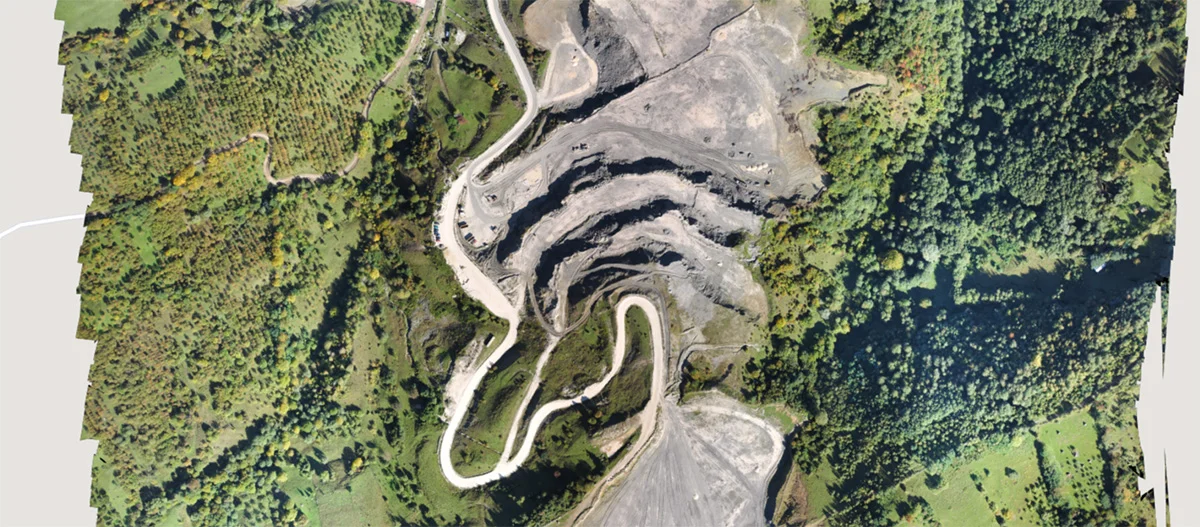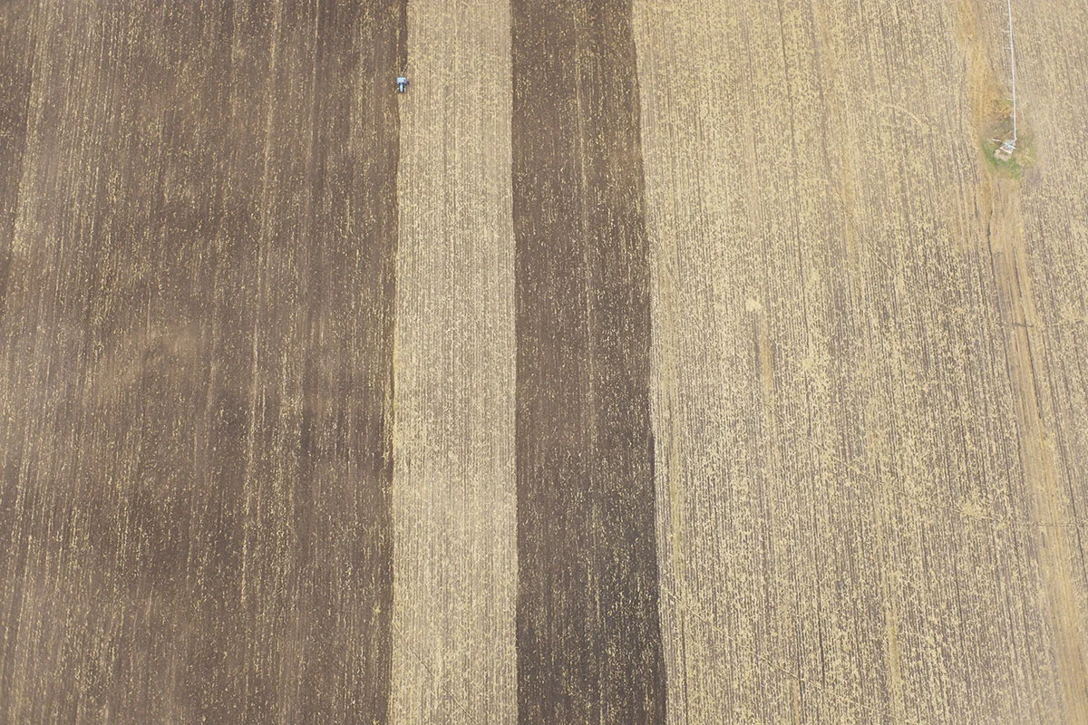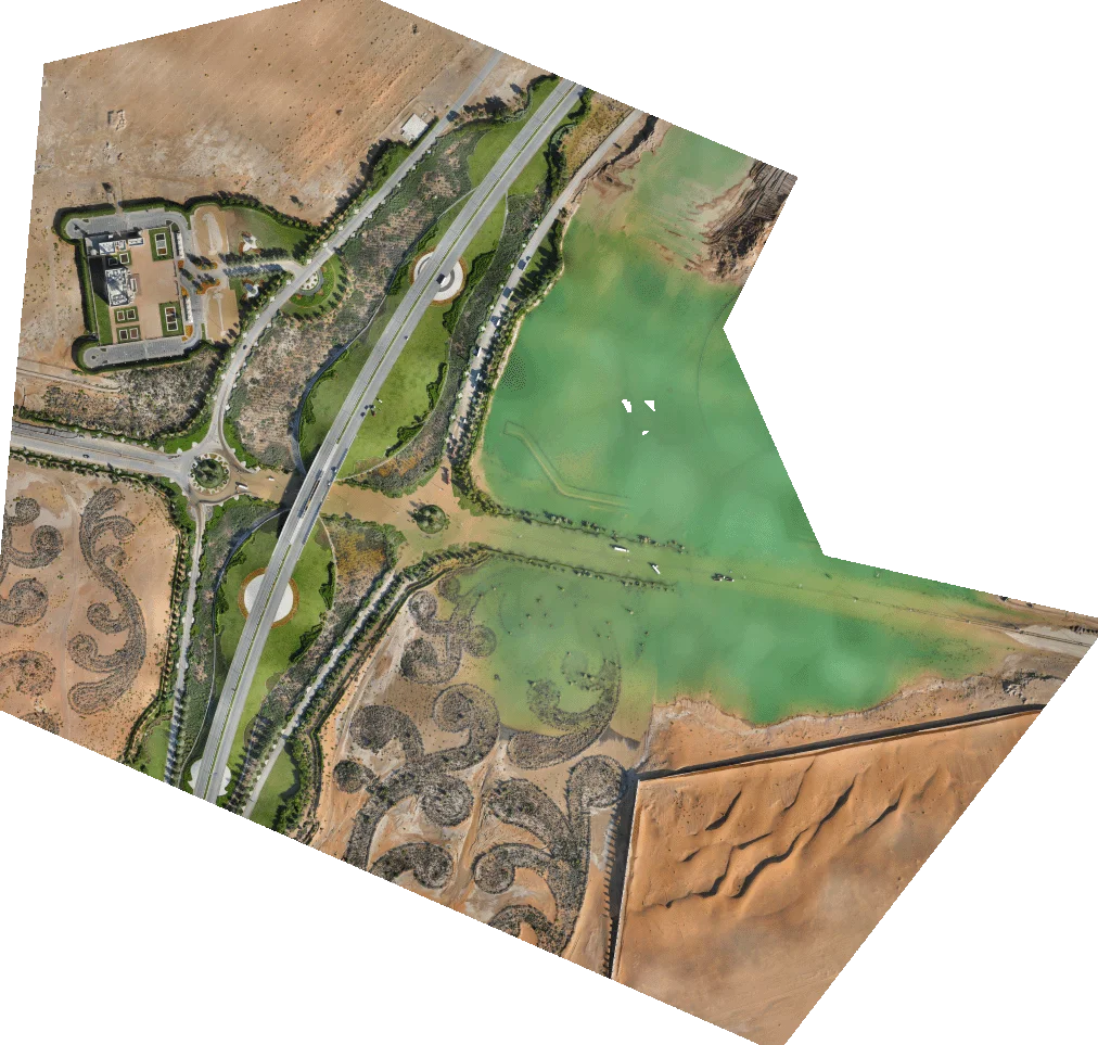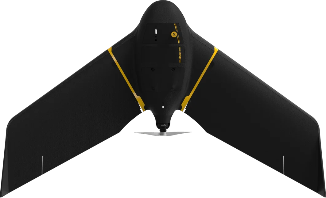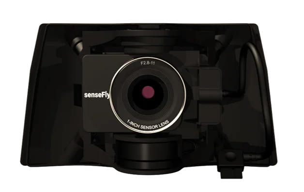
The Land registry department of Lausanne (Switzerland) uses the eBee X drone with 3D camera S.O.D.A. 3D to periodically update the city’s cadastral maps, plan new urban areas, check infrastructure, monitor construction projects and study building façades.
The lightweight eBee X fixed-wing drone meets all the safety requirements of the Swiss Federal Office of Civil Aviation (FOCA) and ensures safe flights over people in Lausanne, which counts a population of 137,810. Live air traffic of the nearby airport and heliport is monitored with the eBee X’s Ping USB accessory.
*Please note that, due to the large scale of the project, the dataset contains only one mapping.